Page 1 of 1
Heading up to Crows landing 6-14-14
Posted: Tue Jun 10, 2014 11:28 am
by Marc Leininger
I am planing to heading up to Crows Landing to watch a couple of friends ( they don't know I'm heading up ) race in the Nat. tour this weekend. Wanted to see if anyone wanted to join me for the drive up (296 miles from LA) I will be hitting the road early Saturday morning at 3:15 AM to be up there by 7:30. Plan on leaving there at 6:30-7ish on Sunday to be back in LA by 11-11:30 Sunday. I have a 95 Toyota Corolla at my disposal and will have plenty of room in it for a couple of peeps and their stuff so let me know. As far as sharing gas cost goes ... If you want to, cool. I think the car is doing about 30MPG combined now days, not too bad. I will be leaving from the LA area.
Looking forward to a little road trip, been too long! Let me know.
PS: Alvin and Travis if your reading this it's supposed to be a surprise so act surprised when I show up!

Re: Heading up to Crows landing 6-14-14
Posted: Tue Jun 10, 2014 12:55 pm
by Craig Naylor
From Pasadena, save a bit of bumper to bumper from the 14 split to Stevenson Ranch, I sat on a pretty constant eighty (gauge) 77 (per GPS), with one 10 min fuel/RR stop. Took me 5 hrs on the nose. 4.25 hrs sounds optimistic.
But if you making the drive anyway, take the Miata, and enter the event!
Re: Heading up to Crows landing 6-14-14
Posted: Tue Jun 10, 2014 1:14 pm
by Marc Leininger
Craig Naylor wrote:From Pasadena, save a bit of bumper to bumper from the 14 split to Stevenson Ranch, I sat on a pretty constant eighty (gauge) 77 (per GPS), with one 10 min fuel/RR stop. Took me 5 hrs on the nose. 4.25 hrs sounds optimistic.
But if you making the drive anyway, take the Miata, and enter the event!
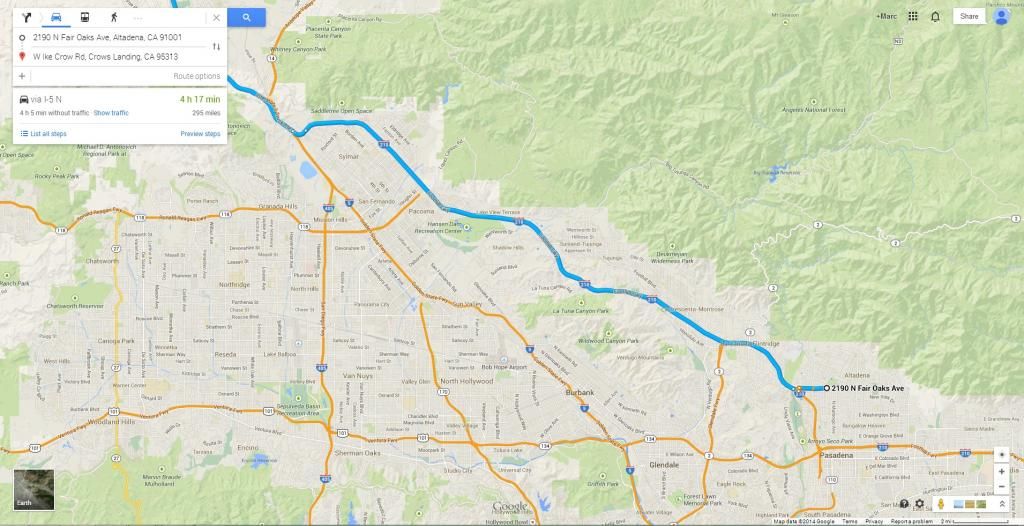
Good advice. I was thinking of take this path out of LA.
Re: Heading up to Crows landing 6-14-14
Posted: Wed Jun 11, 2014 9:32 pm
by Craig Naylor
The problem with mapping programs is they assume you are always instantly at all posted limits, at all times. That you will never incur Stop Signs, Signals, pedestrians, slowing for normal street turns, dumb drivers in the fast lane, gas stops, pee breaks, just to name a few.
It might take traffic into account in calculating drive time on FWY's, (they ignore local street traffic): If it's green, traffic is at 50mph up to posted. If it's yellow traffic is moving between 25mph and 50mph. If it's red, your at 25mph or less. However for time calculations it automatically assumes best case conditions, Green constant posted, yellow 50mph, and red 25mph. If 0nly traffic were so predictably perfect, or consistent!
Re: Heading up to Crows landing 6-14-14
Posted: Thu Jun 12, 2014 5:08 pm
by Marc Leininger
Craig Naylor wrote:The problem with mapping programs is they assume you are always instantly at all posted limits, at all times. That you will never incur Stop Signs, Signals, pedestrians, slowing for normal street turns, dumb drivers in the fast lane, gas stops, pee breaks, just to name a few.
It might take traffic into account in calculating drive time on FWY's, (they ignore local street traffic): If it's green, traffic is at 50mph up to posted. If it's yellow traffic is moving between 25mph and 50mph. If it's red, your at 25mph or less. However for time calculations it automatically assumes best case conditions, Green constant posted, yellow 50mph, and red 25mph. If 0nly traffic were so predictably perfect, or consistent!